


Local Context
The City of San Diego page describes the plan area as extending from Hodges Reservoir east to Clevenger Canyon. It says unincorporated San Diego County lies to the east and west, with Poway and Rancho Bernardo to the south.
Those statements orient the official community-plan area. They do not define every historical, geographic, or conversational use of “San Pasqual Valley,” and they do not decide whether a particular address or parcel belongs to it.
Agricultural Landscape
The City page says agricultural land uses dominate the valley's landscape and names orchards, vines, field crops, dairy operations, and pasture land. This is the City's attributed planning-page description, not a current inventory of farms, businesses, crops, property ownership, or land-use entitlements.
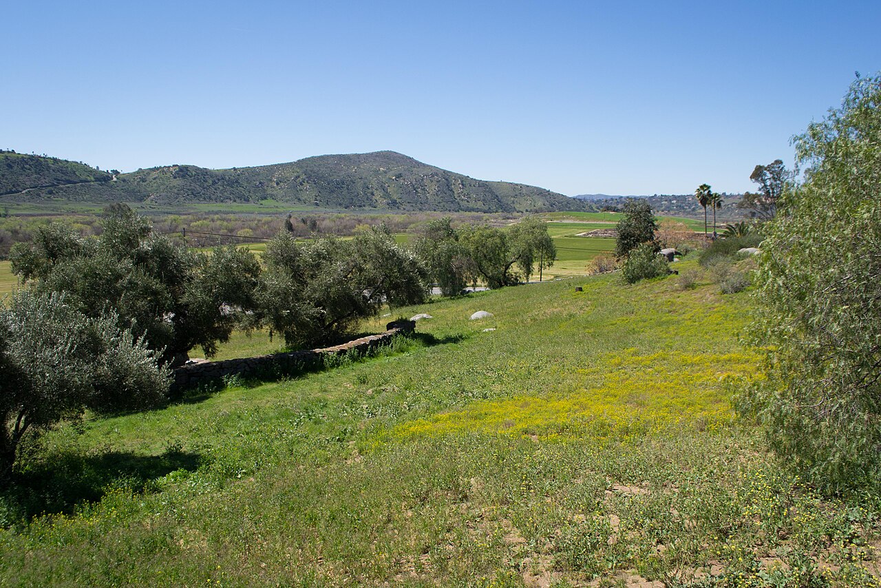
The approved 2013 photograph on this page provides broad landscape context only. It does not show the whole valley, establish current conditions, or draw a boundary.
Indigenous History
The San Pasqual Band of Mission Indians records that 81 Kumeyaay men, women, and children established the San Pasqual Pueblo in 1835. The Band says the community prospered for almost thirty years under Panto's leadership through agriculture, stock raising, skilled work, and exchange.
The Band also describes the rejection of the 1852 Treaty of Santa Ysabel, the rescission of a San Pasqual reservation in 1871, and the removal and dispersal of San Pasqual people from the valley in 1878. These statements are attributed to the Band's public history. This guide does not publish or infer a precise Pueblo, archaeological, cultural, or sensitive site location.
See History of Escondido for the broader sourced chronology that contains these reviewed Tribal claims.
Similar Names Are Not Membership
Rancho San Pasqual Specific Plan Area is a narrower City of Escondido planning area north of Route 78. It is not the same area as the City of San Diego's San Pasqual Valley Community Plan.
Likewise, the San Pasqual Band's present community, schools, trails, Sikes Adobe, the Safari Park, and other pages sharing “San Pasqual” are not automatically members of this area guide. A shared name, nearby address, or proximity is not enough; a separately linked page must have an explicit, reviewed source connection.
Boundary Decision
The City of San Diego publishes a GIS polygon named SAN PASQUAL, and Escondidopedia retained the queried feature as review evidence. It is not drawn on the public Places map: that shared map presents areas across Escondido, while this polygon represents a neighboring City of San Diego planning jurisdiction. The GIS feature's acreage attribute also differs from the current planning page's approximate figure, so this guide does not reconcile the sources or assert a complete boundary.
Use the current City of San Diego community map and parcel resources for official planning-area or property questions.
Related local context
Reviewed pages that connect this item to nearby places, organizations, records, or topics.
Evidence and maintenance
References, source snapshots, and audit notes are kept here for readers who want to verify the page or maintain it later.
Good to know
Use this page as a sourced starting point for following a source-backed path through related local pages and records.
- Check a current source before relying on mutable details.
Change and source dates
- Latest page update
- Aug 22, 2026
- Latest source check
- Aug 22, 2026
- Source snapshot
- Aug 22, 2026
A newer source should be checked before changing current status, access, roles, schedules, or practical details.
References and audit trail
References
Publication Limits
This page does not provide parcel inclusion, current zoning or land-use rules, property ownership, farm or business inventories, trail access, directions, sensitive historic locations, demographics, housing measures, legal guidance, or current public-facility information.
Source Notes
The current City of San Diego planning page supports the dated adoption statement, general orientation, jurisdictional relationship to Escondido, and attributed agricultural description. The GIS source is retained only to document the boundary decision; its geometry is not published as local-area map data. The San Pasqual Band history page supports the Band-attributed Indigenous history and does not authorize precise site inference.